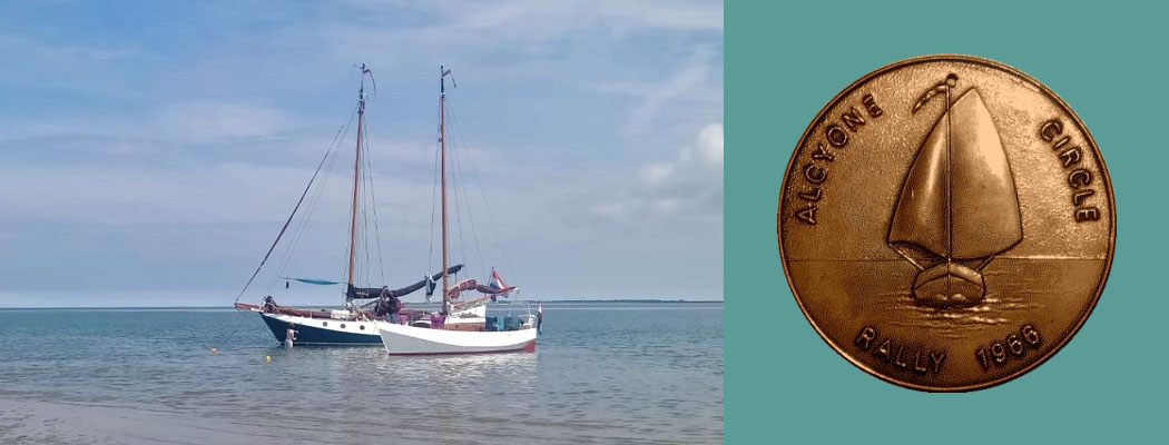
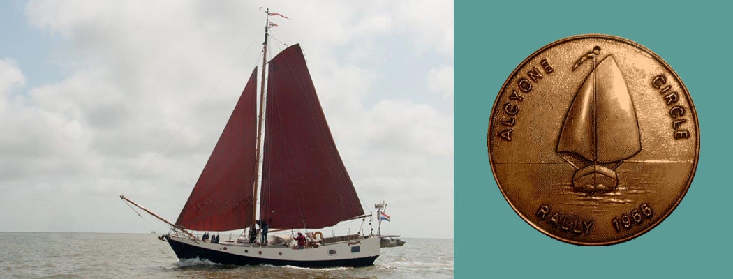
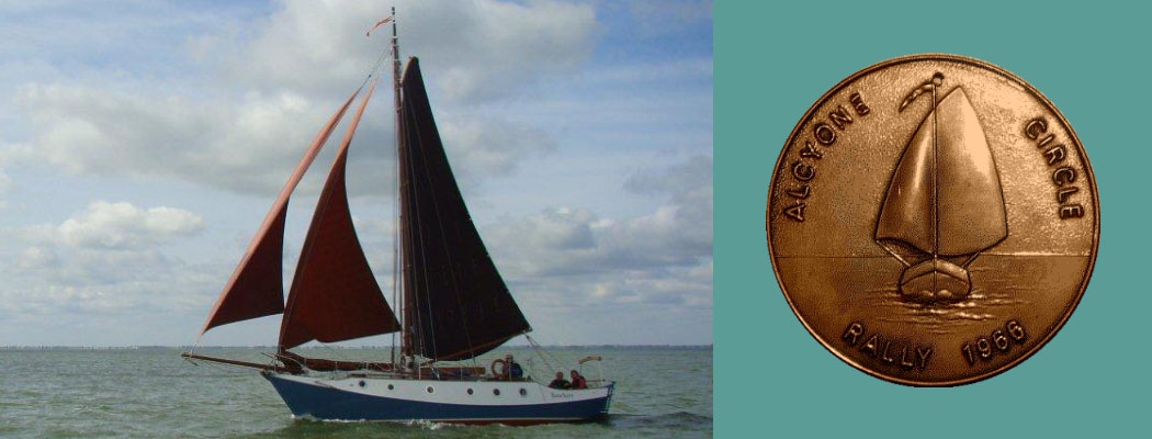
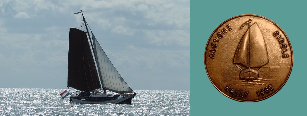
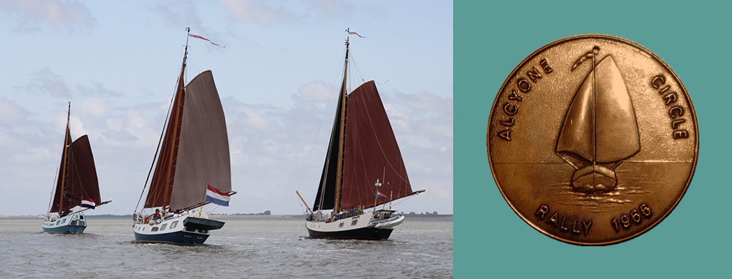
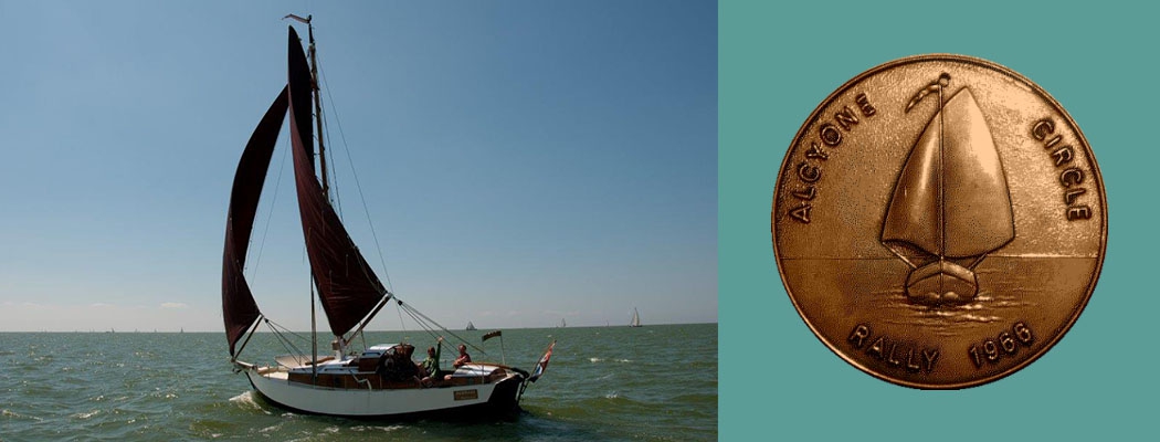
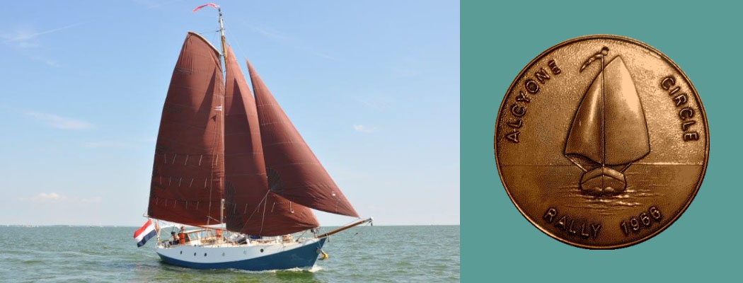
ALCYONE CIRCLE RALLY 1993
Notes, Comments and Suggestions
1. Introduction
ALCYONE CIRCLE are planning a rally from Lauwersoog via Cuxhaven and the island of Sylt to the Limfjord. Participants may enter and leave at any point as they please. The following remarks may help those with their planning that have not or not often sailed in salty waters over such a distance.
It is generally accepted that especially for these and for new members of the CIRCLE a rally including experienced and trained crews as well as newcomers may be a safe and interesting way to become familiar with sailing in the Waddenzee and the North Sea.
All information listed below has been compiled with great care but even all Hydrographic Bureau publications carry the warning that facts may have been omitted or new facts aris- en since the time of going to press. So, please take the following as the offer of help and assistance but not as a substitute for responsible seamanship, carefully assessing your crew’s and your boat’s capabilities and limitations and, above all, check out for good and clear weather at all times.
2. First Leg: Lauwersoog to Cuxhaven
2.1 Proposed starting date is Saturday, July 17th.
High Water (HW) Lauwersoog is approx 09.00 hrs. (check locally for exact time, Dutch tidal calendar not available for me)
2.2 There are three general routes that may be taken
2.2.1 “Blue Water Fun” for experienced sailors, Lauersoog-Westgat-Eems-Borkum or even Oosterems-Norderney (take care of Memmert-Watt-Fahrwasser-Wantij but the tide is ideal for that). Crews experienced enough to follow this route need no advice from me and are left alone herewith.
2.2.2 “Canal Creepers” for bad weather and / or those with an allergy against salt water: Get to Delfzijl somehow, cross the Eems river, travel upstream to the Leda, up the Leda to the Elisabethfehnkanal, to Oldenburg via Küstenkanal, down Hunte and Weser river to Bremerhaven. From Bremerhaven via “Schiffahrtsweb Elbe-Weser” (Hadler kanal) to Otterndorf and 6 miles down River Elbe to Cuxhaven.
This route is rather long and in my opinion no fun whatsoever, but just an alternative for very rough weather. Masts must be lowered at several stages. The Ems-Jade-Kanal from Emden to Wilhelmshaven is very slow to pass (hand-driven locks and bridges with the lock-keeper travelling with you on his bike to do the job when you arrive), beautiful, but leave you with the problem to cross Jade and Weser River in maybe still bad weather.
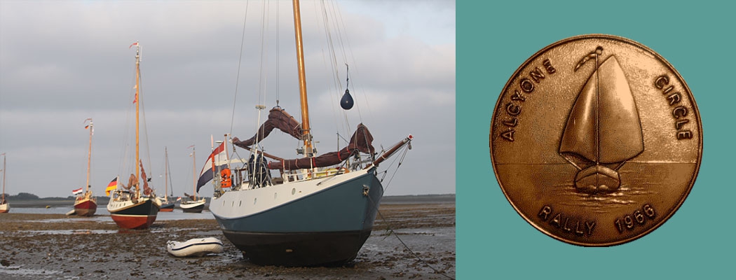
2.2.3 “The Mud Freaks’ Special”: I should prefer the Waddenzee route as daylight and tide and the general weather expectations for mid-July seem ideal for this. All you really need is some sense of good humour if your helmsman puts her (I mean your boat) on the ground (in the mud rather, no risk) and you will then have many hours time to discuss navigational matters with him / her until the tide rises and you’ll be afloat again. And don’t forget your alarm clock as the tide won’t wait fro late risers.
2.2.3.1 Saturday July 17th: Lauwersoog to Borkum
High Water (HW) Lauwersoog 09.00 hours (approx), HW Borkum 22.33 hrs.
Sun rises 05.15 Sun sets 21.45
First Wantij to pass “Hornhuizerwad” 7 nm
Last Wantijj to pass “Uithuizerwad” 22 nm
Uithuizerwad to Borkum Port 8 nm
Borkum Port to Hohe Hörn anchorage 4 nm
You can make this in one tide, locking out at 07.00 hours and rushing through the Wadden, presumably with your engine full blast, and entering the Oude Eems with the last drop of water under your flat bottom (I mean your boat’s of course) but – are you really in such a hurry? Leaving lauwersoog approx. one hour before HW will make our first sailing episode in salty waters end somewhere near buoy ZOL 40, anchoring and drying out until the tide rises again.
You will then pass uithuizerwad at 20.30 hours approx, make the 5 nm to Borkum port in good daylight (beware of the very shallow Meeuwenstaart, I prefer to round it seaward nr. buoy A4 – Borkum Reede. If my wife allows I shall give you a brief account of my personal Meeuwenstaart adventure that requires no repetition).
Borkum has a new and neat yacht harbour at last, entry nr. lightbuoy F 10, but a much nicer and completely safe anchorage lies beyond the Wantij just south of “Hohe Hörn.” The “Oldies” amongst you may remember our cheerful meeting there in 1986.
Sailing up there in last daylight will make you pass another Wantij and give you an unforgettable first anchoring experience in the beauty and quietness of the German Waddenzee.
2.2.3.2 Sunday July 18th: Borkum to Norderney Ostbalje or Baltrum
HW Borkum 11.01 hrs, HW Norderney Ost 23.59 hrs.
Borkum Hohe Hörn to Memmert-Wattfahrwasser Wantij 10 nm
Memmert-Wattfhrwss to Norderney Port 7 nm
Norderney Port to Norderneyer Wattfhrswss Wantij 7 nm
(near buoy 38)
Wantij to Ostbalje 3nm, to Baltrum Port 4 nm
Call all hands to man the capstan – it’s 09 o’clock and we’ve got a far way to go. As the flood is still running it you will be swept up the Oostereems and Memmertbalje in no time and pass the Wantij nr. HW. The fairway junction nr. Branderplate is extremely difficult to navigate as you will see dozens of buoys at hand, belonging to numerous different fairways, separated by very shallow sands! So take good care (no rum allowance for the navigator) to follow the memmert (“M”) channel precisely and pic up lightbuoy B 10 in the Busetief. Pay your respect to those able seamen who managed this fairway in deep fog in 1986, with no Decca or Satnav at hand, just using compass and echosounder. Permanent use of your echosounders in the Wadeen is recom- mended, an adjustable alarm very helpful.
Norderney Port is crowded, loud, expensive, full of motor cars, and entry is discouraged unless you wish to try your fortune (and lose your boat, maybe) in it’s Mondaine casino.
If the ebb tide against that you will encounter in the Riffgat is too strong, I should prefer to anchor well off the cable area and wait for the flood to come – about 18 hrs. The port of Baltrum, neat and small and clean and nice as it may be, is often heavily crowded and accommodations hard to find. If you don’t mind another night at anchor, I should recommend to make the “Ostbalje” west of buoy 42 your place for a quiet stay. Otherwise, take your chances at Baltum Yacht Harbour. Telephone number of harbourmaster for VHF enquiries about port capacity will follow.
2.2.3.3 Monday July 19th: Norderney Ost to Langeoog
HW Norderney 12.09 hrs, HW Langeoog Ost 12.30 hrs.
Norderney-Ostbalje to Baltrum Wantij 4 nm
Baltrum Wantij to Langeoog Port 6 nm
No matter from where you start – don’t try to make the Baltrum Wantij other than close to local HW time (12.15 hrs approx.). It dries out at least +1,2 m with a tidal hub of 2,6 m normal, leaving you with 1,4 m depth at HW if you are lucky enough to find the “deepest” point. Do remember that easterly winds will lower HW water levels significantly (Bft 5 est will mean about 0,7 m less!). Spring tide is just beginning. So, you may sleep long this day. Do make up your minds whether or not to leave the sheltered Waddenzee via Westerriff and follow the 5 m depth line eastward, entering the Wadden with the evening flood between, say, Spiekeroog and Wangerooge. Make sure weather and visibility are good enough to take this tour, or leave it out rather and let the day’s sail end at Langeoog Port (draught beer, good showers, always free mooring capacity, floating jetties, but a long way to the village. Use the local railway that leaves shortly after a ferry arrived. Good shopping in Langeoog village. When the port dries out you will smell that you are in the wadden and that the mud is alive.)
2.2.3.4 Tuesday July 20th: Langeoog to minsener Oog
HW Langeoog 12.56 hrs, HW Wangerooge Ost 13.30 hrs.
Langeoog Port to Neuharlingersieler Wantij 9 nm
N ’sieler Wantij to Harlesieler Wattfahrwasser Wantij 9 nm
H’sieler Wantij to Telegraphenbalje Wantij 9 nm
Telegraphenbalje Wantij to buoy B 15 off Minsener Oog Island 5 nm
I should strongly recommend to try to make the three Wantijs in one tide, but this will mean to cross Neuharlingersieier W. with “first” and Telegraphenbalje Wantij south of Wangerooge with “last” water. So, you should arrive at neuharlingersieler Wantij about two hours before HW, make the Harlesieler Wantij near HW, and slip over Telegraphenbalje Wantij (+0,8 m at LW, tidal hub 2,8 m, 2 m deep at HW, 1,7 m 1 hr past HW, 1,25 m 2 hrs pat HW!) at about 15.30 hrs.
This means tough sailing or using your engine. If you fail, don’t worry. If you feel you are short of time, consider (GOOD WEATHER AND GOOD VISIBILITY MANDATORY!) to leave the Waden using the Otzumer Balje between Langeoog and Spiekeroog or, as “tidal emergency exit,” the harle between Spiekeroog and Wangerooge. Daylight permitting, you may wish to travel on riding on the flood to maybe Wangersiel, the first coastal port on River Jade, or re-enter the Wadden through Blaue Balje between Wangerooge and Minsener Oog.
In my mind it would make little sense to plan to cross jade and Weser River seaward from here and to sail over to the elbe entry directly. This is tricky navigation heavily weather and visibility dependent, and it is senseless to try to make River elbe against the current. With HW at midday, I cannot see how one could make it to the elbe 1 light-vessel arriving there in the morning already to ride on the flood wave. Any ideas how to do the trick?
I estimate you will find yourselves somewhere at anchor nr. buoy T 6 south of Wangerooge this night, and that is an excellent starting point for Wednesday’s extensive sailing schedule:
2.2.3.5 Wednesday July 21th: Wangerooge to Meyer’s Legde
HW Wangerooge 14.15 hrs, HW Meyer’s Legde Ost 15.00 hrs.
Wangerooge Ost to Minsener Oog Wantij 4 nm
Minsener Oog Wantij to Kaiserbalje 10 nm
Kaiserbalje Entrance to Hohe Weg Wantij 4 nm
Hohe Weg Wantij to Meyer’s Legde Wantij 10 nm
We should cross the Minsener Oog Wantij as early as possible, some 2 hours before high water about 12 o’clock, to make use of the strong tidal current on Jade River. We should arrive at Kaiserbalje entrance east of Wilhelmshaven oil pier at 13.30 hrs at best, which will make Hohe Weg Wantij where the flotilla hit the ground in 1986 safely navigable for us.
The rest of the route from Hohe Weg to meyer’s Legde Wantij is not included in the usual set of charts for small craft issued by the German Hydrographic Office (BSH). Someone (I think the HARMONIE crew) must buy the official chart for professional vessels als missing link to guide the others.
You will leave Hohe Weg fairway and process through Fedderwarder Priel to the Fedderwarder Fahrwss arm of Riber Weser. Unfortunately, the Robbenplate Shoal will have to be passed either inland oder seaward before you can enter Weser-Elbe-Wattfahrwasser from the Wurster Arm Fairway.
No chance to get further than Meyer’s Legde Wantij buy still this is a nice anchorage. If weather condition should have deteriorated drastically, it may be advisable to enter Bremerhaven port and take the safe canal to Otterndorf (about one day) instead of continuing through the Wadden.
2.2.3.6 Thursdays Legde to Neuwerk
HW Meyer’s Legde 03.45 hrs, HW Neuwerk 15.00 hrs.
Meyer’s Legde to Spiekaer Wantij 6 nm
Spieka to Neuwerk Entrance 10 nm
If you are ready to rise very early you can make it to Neuwerk today, which is an extremely beautiful island situated in the Elbe Estuary. It’s landmark is the 500 years old lighthouse built by the senate of Hamburg. It served (and serves!) as a navigational aid, but also as a fortification against my ancestors who gave the merchants of Hamburg a lot of trouble stealing away their ships from here.
I should recommend to heave the anchors at 04.30 hrs, passing safely over the Meyer’s Legde Wantij at first twilight, having the impressive experience of a sunrise in the Wadden when passing the Spiekaer Wantij and anchor and sleep for a good siesta at the “Neuwerker Loch” entrance north of buoy “Ostertill”. Even though no stakes (“Pricken”) are noted in the chart, a private sailing club does mark the Neuwerker Lock fairway each year so that, with the tide rising, you may easily approach the landing stage west of the island. This is a great place to stay, it will dry out and leave you within easy walking distance from the tiny village. The pub is the old lighthouse is a must, as is the 198 stairs up to the top with an overwhelming view over the Wadden.
2.2.3.7 Friday July 23th: Neuwerk to Cuxhaven
HW Neuwerk 15.45 hrs, HW Cuxhaven 16.47 hrs.
Neuwerk to Cuxhaven 15 nm
The tidal current of River Elbe reaches 4-5 knots and so, leaving neuwerk about two hours before HW will give us a fast trip to Cuxhaven.
2.3 Cuxhaven
According to the number of yachts and persons participating, we should be willing to arrange berths and shore arrangements as for everyone. So, hotel reservations if needed for crew changes, possible repairs on the boats (everything can be done by the numerous nautical firms in Cuxhaven) etc. can be arranged through us if needs be.
3 Second leg: Cuxhaven to Hörnum
I think a detailed itinerary of this very beautiful part of our journey could be postponed until the number of crews and their particular intentions will have been clarified on the meeting at Schipohl.
4 Closing Remarks
I have tried to describe the “Mud Freaks’ Route” in detail, as I think it is the safest, the most interesting and the most beautiful one and as it requires tricky tide and daylight calculations not familiar for the Ijsselmeer (nor blue water!) crews.
Incidentally, we shall make this trip next week with our HARMONIE and can test the validity of our comments and, maybe, inform you in a further information leaflet about possible changes.
Unfortunately, we cannot attend the Schihpohl meeting, but hope this information will prove helpful for CIRCLE members considering to participate in the 1993 rally. If notified immediately after the Schihpohl meeting about the number of yachts, their VHF callsigns, and their particular plans, we could issue further information concerning VHF communication, weather and tidal forecast.
We also need this information to make the necessary reservations in Cuxhaven in good time
Hoping to meet you all,
Klaus-Gerrit Gerdts M.D. and family
Neuhaus (Oste), May 15th, 1993
Editors comment: In the end the only vessel to attempt the rally abondoned the effort in Hornum, Sylt, West Germany upon receiving a five day forecast, each day of which promised westerly force 9 winds. All of the Fyn Peninsula’s entries up to the Skaggerak were thus on a lee shore and inaccessible. It was felt that while the vessel (Puffin) would have survived the trip, it was a bit tough for the crew.
Klaus Gertz’ comment was “there was only one entry, and no winners.”

